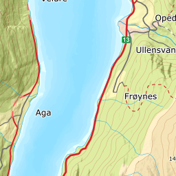
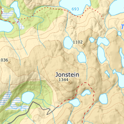
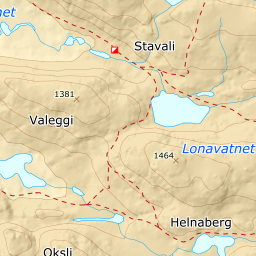
It must have been an impressive glacier that came from the plateau and on down the steep end of the valley 11,000 years ago. The ice shoved together a huge lateral moraine, mostly on the northern side, where the housing development Legene now lies. Blocks as large as houses were strewn about the delta that the glacial rivers had deposited in the fjord, which then stood 100 metres higher than today. Before the glacier disappeared completely, it had one last advance. The last surge deposited a moraine ridge both above the nursery school and on the other side of the valley. Behind this "dam", a larger river plain was formed, Tveitane, at a height of 140-165 metres.
In this way the glacier did the necessary carving and laid the deposits in place. After the glacier disappeared, the land began to rise. After that the river processes took over, laying down flood avalanche deposits that transformed the soil.
The large boulders on the surface prevented the river from cutting very far into the terrain. During periods of flooding the river changed course several times, and distributed the material out over the wide river fan. After a time the river managed nonetheless to carve a little ways down into the fan. Thus, the river deposited another fan lower down, with its root about where the highway crosses the river at Gjesteheimen (“The Guest House”).


