- Remove Boats and seafaring filter Boats and seafaring
- Remove Music filter Music
- Remove Igneous rocks filter Igneous rocks

Ulvanosa
Some mountains have rounded shapes, while others have steep slopes and sharp edges. Ulvanosa (1246 mos.) has both. The forms reflect the type of bedrock below, and the forces that were in effect when they were formed.
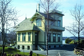


Spildepollen
The oceanic crust of the North Sea was subjected to a lot of stretching both in Permian and Triassic times, and later in the Jurassic. This stretching resulted in the North Sea collapsing in and also to large faults forming west of Hordaland and on the mainland. Austefjorden in Sund follows one of these faults.


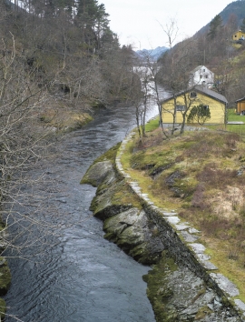
Spjutøy
At Spjutøy and Straumsosen there are three entrances from Lurefjorden to the fjord basin inside. Right up the end of the 1800s the ferry could not reach further than to Mølna at Spjutøy. At Skallestraumen there was a bark mill driven by the powerful tidal current in the sound. Here was also a store, a bakery and a hostelry place around the middle of the 1800s.

