- Remove Øygarden, frå 2020 del av nye Øygarden kommune. filter Øygarden, frå 2020 del av nye Øygarden kommune.
- Remove Midthordland filter Midthordland
- Remove Place filter Place
- Remove Fjell, frå 2020 del av nye Øygarden kommune filter Fjell, frå 2020 del av nye Øygarden kommune

Kvernapollen
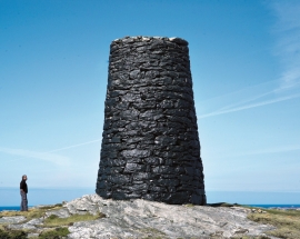
When the workers came to Kollsnes to start on the work with the landing for the gas terminal from the Troll field in the North Sea, they found the ruins of an old farm mill at Kvernapollen.


Knarrevik
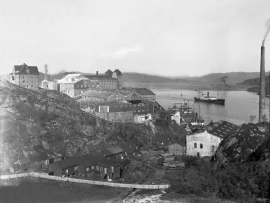
Having passed well over the bridge across to Sotra you pass an industrial plant surrounded by a budding community; the mineral mill of A/S Norwegian Talc. Some of the buildings seem to have been erected in the early part of the 20th century. They are remnants of a grand industrial plant from the former boom time in the country – the economic upswing after WWI.
Power line
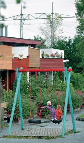
When the terminal at Kollsnes in Øygarden was going to be extended in the 1990s, environmental organisations, the local community and politicians demanded that a 300 Kw power line from Bergen be laid underground. It was clear that a new overground cable over this open landscape would be quite disfiguring.

Toftestallen
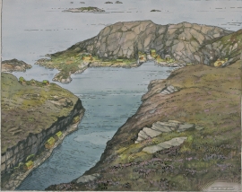
The large coastal waves that crash down on the islands west in the sea gather their energy from storms and winds all the way out in the North Atlantic Ocean. The most common place of origin is nonetheless the North Sea. When these waves break over the skerries and islets along the shore, or on the rocky outermost islands, their energy is released. This takes the form of turbulence in the water and sea spray up on land. Can the enormous energy contained in the waves be exploited?

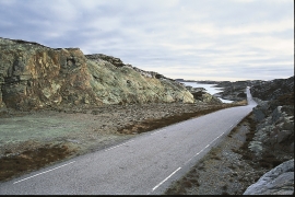
Turøyvegen
The earthquake was caused by movements along fault zones in the bedrock where the blocks of rock chafed against each other. In Devonian time, there were many big earthquakes that caused Hordaland to be broken up along fault zones. Some of these faults are visible along road cuts between Tofteøyna and Turøyna islands. Along the Hordaland coast, earthquakes still occur sometimes, though the quakes tend to be weaker.

