- Remove Modalen filter Modalen
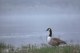
- Remove Maritime environments filter Maritime environments
- Remove Middle age filter Middle age
- Remove Bømlo filter Bømlo
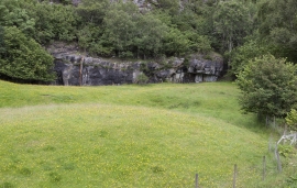
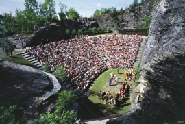
- Remove Quarries filter Quarries
- Remove Large landforms filter Large landforms
- Remove Introduced species filter Introduced species
- Remove Stord filter Stord


Huglo
The majority of Huglo is bare rock. A bit of dwarf pine forest is the only vegetation able to put down roots. Along the west- and east sides, to the contrary, the landscape is unusually green and lush. The reason lies both in the bedrock and in the ice that covered the area 12 000 years ago.

Kattnakken–Stovegolvet
The highest mountainous area on Stord, including Kattnakken, Midtfjellet and Stovegolvet, has more in common with the mountainous terrain on the mainland than in the low coastal landscape of Sunnhordland. The volcanic bedrock together with the erosive powers of nature has resulted in a unique plateau landscape.

Moster- The old church
Moster is mentioned as a church site already in the time of Olav Tryggvason. According to the sagas the king is supposed to have laid the foundations for the first church at Moster when he came there in 995. That building would have been a stave church - the church standing there today – a stone church with a nave and narrower, straight chancel – was probably founded around 1100. In 1874 a new church was built at Moster. Then the old church was bought by The Society for the Preservation of Norwegian Ancient Monuments, which is still the owner.

Nottveit
In one of the frame-built haysheds at Nottveit, at holding No. 3, we discover that several of the staves have a medieval look, with large dimensions and carefully rounded edges. According to tradition, it was the farms Nottveit and Mostraumen that supplied the timber for the stave church at Mo, and it is not unlikely that these farms received the old timber in return when the new church was erected there in 1593.

Otterstad
Tthe Otterstad farms lie in the innermost part of Mofjorden, on the northwest side of the river. The row of stave-built boatsheds that belong to the farm were probably constructed a little after the middle of the 1800s. Both here and on the Mo side, the boatsheds were important storage places at the seashore; wood and other farm products intended for the town; corn and merchandise in return.

