- Remove Midthordland filter Midthordland
- Remove Lichens, mosses, fungi filter Lichens, mosses, fungi
- Remove Urban environments filter Urban environments
- Remove Road constructions filter Road constructions

Bryggen
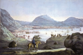
In the 1300s Bergen was a trading centre of European dimension. The town is thought to have had around 7000 inhabitants and was the largest and most important in the country. In a European context it was an average size town. At this time the most tightly built town area was still mostly east of Vågen from Holmen in the north to Vågsbotn in the south. Already in medieval times, latest in the 1340s, this area was called Bryggen.


Sandviken
Close to the tunnel opening at Amalie Skrams vei in Ssandviken, there is a cultural monument of European dimensions; a rope making works that produced rope and fishing tackle for West and North Norway.

Strandsiden
During the 1300s Strandsiden changed from a rural area with a monastery to a pulsating trading centre with boathouses, storehouses and embankment.

Vågsbunnen
Vågsbotn was the name of the innermost part of the eastern part of town from Auta-almenning (today’s Vetrlidsalmenning), skirting the bottom of Vågen to Allehelgenskirken (All Saints’ Church) (at the present Allehelgensgate). In early medieval times Vågen reached almost all the way to Olavskirken (the Cathedral). It was a relatively wide bay inside the premonitory where Korskirken was built. The area was therefore much shorter than what is known as Vågsbunnen today.
Øpstad
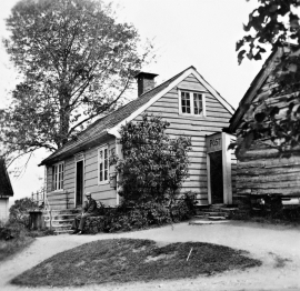
The post house at Øpstad stands out in the landscape. An ochre yellow house with a loft and a white-painted house in Swiss style with ochre edgings, bears witness to a well preserved house from the 1800s, nearest neighbour to the beautiful old vicarage. In the Øpstad hamlet there was a post office for more than a hundred years, until the 1970s. Today it is possible to walk the old post road across the mountain to Strandvik, as part of “Den Stavangerske Postvei” (The post road to Stavanger).

