- Remove Middle age filter Middle age
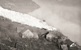
- Remove Avalanches and rock falls filter Avalanches and rock falls
- Remove Maritime environments filter Maritime environments
- Remove Place filter Place
- Remove Hardanger og Voss filter Hardanger og Voss
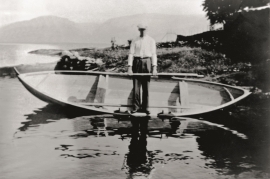
- Remove Boat- and shipyards filter Boat- and shipyards
- Remove Kvam filter Kvam
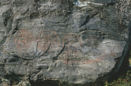
- Remove Runestones filter Runestones
- Remove Ullensvang, frå 2020 del av nye Ullensvang kommune. filter Ullensvang, frå 2020 del av nye Ullensvang kommune.
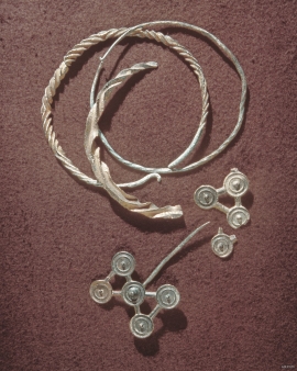
- Remove Bronze age filter Bronze age
- Remove Large landforms filter Large landforms

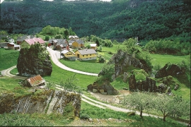
Kinsarvik
Kinsarvik has probably been a centre for the inner Hardanger districts back in prehistory. History tells us that in medieval times there was a marketing place, a “kaupang”, here; a connecting point in the communications between east and west. There were supposedly around 300 residents here but the place was likely wiped out in a great fire.


Hårteigen
Hårteigen, «the grey signpost», as the name suggests, is a landmark for mountain hikers on the western plateau. The piece of mountain is also a monument for the mighty rock layers that once covered the entire plateau.

Tokagjelet
There is a sharp transition between the wide valley at Kvamskogen and the narrow Tokagjelet. The transition is no less dramatic when we come out of the crooked tunnels far down in the canyon, and the open Steinsdalen valley spreads out before us. The canyon both separates and joins together different epochs in western Norway's history.

