- Remove Basement rocks filter Basement rocks
- Remove Midthordland filter Midthordland
- Remove Hydro power filter Hydro power
- Remove Place filter Place
- Remove Churches filter Churches
- Remove Small landforms filter Small landforms
- Remove Large landforms filter Large landforms
- Remove Rock carvings filter Rock carvings
- Remove Sunnhordland filter Sunnhordland


Bondhusdalen
The Bondhus area in Maruanger has been a magnet for tourists ever since the stream of tourists to Norway's west coast began in the middle of the 1800s. The magnificent landscape with the "ice trail" up to Bondhusvatnet Lake, the ice falls from Bondhusbreen glacier and Keisarstigen trail up to Folgefonna are still popular tourist attractions.


Eikelandsosen
"So many and such big potholes as are found at Eikelandsosen, we don't see other places in western Norway, and as beautifully polished as the mountainside is along the river up to Koldal , one would look a long time to see anywhere else. There is much to dazzle a geologist's eyes. If only these features could bring others the same joy!"

Einstapevoll- slates
“On the country of Wallestrand…the rock almost everywhere appears to be of a slate-like substance, be it at the seashore, on the farms or in their distant fields”.
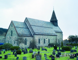
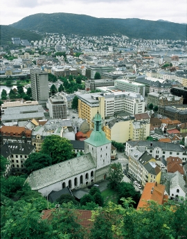
Fana church
In the Middle Ages the stone church in Fana was a place for pilgrimage, containing a miraculous silver crucifix that could heal the sick. A hill to the west of the church is still called Krykkjehaugen (the crutch hill); according to belief this is where the sick threw away their crutches. Perhaps this church, lying where it does at the old half county boundary , also held a special position in relation to the district churches in the county.

Fitjarøyane
If we study the group of islands south of Selbjørns Fjord from the air or on a sea map, we will notice that many of the islands are elongated and lie systematically in rows. The islands are divided by long sounds, for example Trollosen, Nuleia and Hjelmosen, which are oriented in a south-southeast to north-northwesterly direction.

