- Remove Small landforms filter Small landforms
- Remove Quarries filter Quarries
- Remove Sedimentary rocks filter Sedimentary rocks
- Remove Large landforms filter Large landforms
- Remove Stord filter Stord
- Remove Mines filter Mines
- Remove Literature filter Literature
- Remove Os, frå 2020 del av nye Bjørnafjorden kommune filter Os, frå 2020 del av nye Bjørnafjorden kommune

Huglo
The majority of Huglo is bare rock. A bit of dwarf pine forest is the only vegetation able to put down roots. Along the west- and east sides, to the contrary, the landscape is unusually green and lush. The reason lies both in the bedrock and in the ice that covered the area 12 000 years ago.


Kattnakken–Stovegolvet
The highest mountainous area on Stord, including Kattnakken, Midtfjellet and Stovegolvet, has more in common with the mountainous terrain on the mainland than in the low coastal landscape of Sunnhordland. The volcanic bedrock together with the erosive powers of nature has resulted in a unique plateau landscape.
Litlabø
The first finds of pyrite at Litlabø in Stord came to light in 1864. Forty years later sulphuric ore was mined from an open mine. From 1874 to 1880 it was used for dynamite production. That came to a sudden end when the factory exploded and three people died.

Grødalshaug
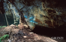
At the bottom of Vargavågen on Halhjem lies Grødalshaug, a 30 metres high rocky outcrop between the bay and a moist valley cleft. On the south side of the rock is a steep rock cliff facing the valley, the bog and the stream. On this rock face we find rock carvings from the Bronze Age.
Ulven
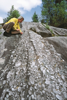
In the region of Ulven phyllite occurs with Hordaland's youngest fossils, and a beautiful quartz conglomerate. The phyllite and conglomerate got squeezed into the bottom of an ancient oceanic crust, made of gabbro and greenstone, in the heart of the Caledonide mountain chain.