- Remove Place filter Place
- Remove Coniferous forests filter Coniferous forests
- Remove Chieftains and royal lines filter Chieftains and royal lines
- Remove Large landforms filter Large landforms
- Remove Rock carvings filter Rock carvings
- Remove Road constructions filter Road constructions


Fitjar- the King's farm
In front of Fitjar Church there is a memorial stone, sculpted by Anne Grimdalen and erected in 1961, for the thousand-year memorial of one of the most dramatic events in Norway’s history, the Battle of Fitjar. This was the place where Norway’s king, Håkon the Good, suffered his fatal injury in the fight with Eirik’s sons, probably in the year 961.

Fitjarøyane
If we study the group of islands south of Selbjørns Fjord from the air or on a sea map, we will notice that many of the islands are elongated and lie systematically in rows. The islands are divided by long sounds, for example Trollosen, Nuleia and Hjelmosen, which are oriented in a south-southeast to north-northwesterly direction.


Huglo
The majority of Huglo is bare rock. A bit of dwarf pine forest is the only vegetation able to put down roots. Along the west- and east sides, to the contrary, the landscape is unusually green and lush. The reason lies both in the bedrock and in the ice that covered the area 12 000 years ago.

Kattnakken–Stovegolvet
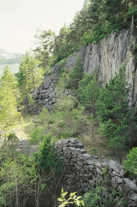
The highest mountainous area on Stord, including Kattnakken, Midtfjellet and Stovegolvet, has more in common with the mountainous terrain on the mainland than in the low coastal landscape of Sunnhordland. The volcanic bedrock together with the erosive powers of nature has resulted in a unique plateau landscape.
Storsøya Island
On Storsøya Island, English ivy grows nearly everywhere. It creeps along the ground and climbs all the way to the top of the tree trunks. Together with holly, the trees of juniper, yew and an unusual pine forest keep the island green the whole year 'round.

Hopsfjellet
On June 2nd, 1992, a big forest fire broke out in Sveio. The fire started southeast of Hopsfjellet. In a strong wind the flames spread quickly northward. Houses on the other side of the highway were threatened, but escaped unscathed. The burned area, which is easily visible about a 5 minute's drive south from the tunnel at the triple- junction, was made into a nature reserve in 1998. The intention was to ensure that the re-establishment of plant- and animal life would take place without disturbance.

