- Remove Quarns and mills filter Quarns and mills
- Remove Wetland filter Wetland
- Remove Fitjar filter Fitjar
- Remove Place filter Place
- Remove Meland, frå 2020 del av nye Alver kommune. filter Meland, frå 2020 del av nye Alver kommune.
- Remove Conservation area filter Conservation area
- Remove Large landforms filter Large landforms
- Remove Kvinnherad filter Kvinnherad

Bondhusdalen
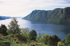
The Bondhus area in Maruanger has been a magnet for tourists ever since the stream of tourists to Norway's west coast began in the middle of the 1800s. The magnificent landscape with the "ice trail" up to Bondhusvatnet Lake, the ice falls from Bondhusbreen glacier and Keisarstigen trail up to Folgefonna are still popular tourist attractions.

Holmedalsberget
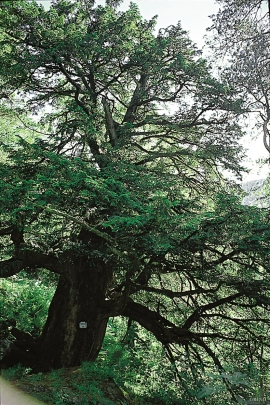
If you want to be on your own for a long day in a magnificent deciduous forest in demanding terrain, then HOLMESDALSBERGET is the right place. This is a big forested area by Matres Fjord in the southwestly part of Kinnherad. Here, we find one of the largest deciduous forests in Hordaland. The forest stretches over several kilometres.

Ulvanosa
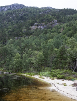
Some mountains have rounded shapes, while others have steep slopes and sharp edges. Ulvanosa (1246 mos.) has both. The forms reflect the type of bedrock below, and the forces that were in effect when they were formed.

Eldsfjellet
The eclogites in western Norway were formed when Precambrian basement rocks were squeezed and pressed down under great pressure deep under the Caledonian mountain chain. The process may well have triggered some of the deepest earthquakes the world has ever known. The clearest traces of this drama are found in and around Mt. Eldsfjellet, in peaceful Meland.


