- Remove Churches filter Churches
- Remove Sawmills filter Sawmills
- Remove Ulvik filter Ulvik
- Remove Sediments filter Sediments
- Remove Bergen filter Bergen


Rallarvegen
They rest there, all as one, the silent witnesses of Western Norway's saga of creation: Precambrian basement, phyllite and thrust sheet. In the end came the glaciers and sculptured the vast landscape. Along the ground or on the horizon, from bicycle or on foot - the landscape tells its story - and it tells it clearer on Rallarvegen than many other places.

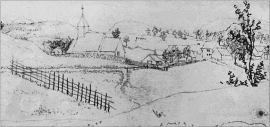
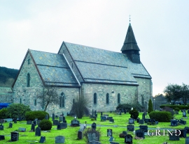
Ulvik-village
The ice cap that covered the land during each of the 40 past ice ages over the past 2 million years of Earth's history pressed down the crust of the earth - like a finger on a rubber ball. And when the ice finally loosened its grip 11,000 years ago, the earth's crust rose again, most where the ice was thickest, least where it was thin, quickly in the beginning, and later more slowly. To this day, the land in the inner part of Norway continues to rise by perhaps one millimetre per year. By and large, however, the crust in Hordaland has again reached equilibrium after the weight of the ice was removed.


Fjøsanger
Fjøsanger is known among ice age researchers from around the world. Under an excavation in 1975-77, geologists from the University of Bergen found layers from the last interglacial, ca. 115 000 to 130 000 years old.
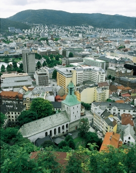
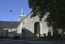
Fana church
In the Middle Ages the stone church in Fana was a place for pilgrimage, containing a miraculous silver crucifix that could heal the sick. A hill to the west of the church is still called Krykkjehaugen (the crutch hill); according to belief this is where the sick threw away their crutches. Perhaps this church, lying where it does at the old half county boundary , also held a special position in relation to the district churches in the county.

