- Remove Small landforms filter Small landforms
- Remove Defense filter Defense
- Remove Place filter Place
- Remove Midthordland filter Midthordland
- Remove Sunnhordland filter Sunnhordland
- Remove Farm sites filter Farm sites
- Remove Road constructions filter Road constructions
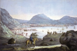

Mosnes
The permanently-protected Mosneselva River, with its meltwater from Folgefonna, runs out into Åkra Fjord by the roadless and uninhabited Mosnes. Those who once lived here were forced to surrender to the ravages of Nature. In the autumn of 1962 there was a flood so great that the people were driven from their farms.

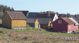
Hufthammar
Farming in Austevoll has nearly all been in combination with fishing as the main industry. The farms in the district are therefore small, even in a west Norwegian context.

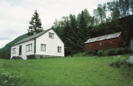
Haugsbø
The single unit farm without a road to it, Haugsbø, is situated on the east side of the Tittelsnes peninsula facing Ålfjorden. As far back as the Middle Ages the farm has probably belonged to Stord Parish, up to the 1800s. In 1590 it was thought to be abandoned, but in 1601 Mickel Hougsbøe paid a tithe on the farm.


Golta- Long house
In the years between the wars a major registration of houses and house costumes, house construction methods, fireplaces and forms of housing clusters was started in West Norway – an ambitious mapping of everything that came under the name “Registration of Culture and Geography in West Norway”. One of the places of which material was gathered in 1938 was an old multi-room house at Golta; new and interesting material for the researchers from the Historical Museum, but well known within the local building tradition through several generations.

