- Remove Small landforms filter Small landforms
- Remove Middle age filter Middle age
- Remove Road constructions filter Road constructions
- Remove Nordhordland filter Nordhordland
- Remove Vernacular crafts filter Vernacular crafts
- Remove Hardanger og Voss filter Hardanger og Voss
- Remove Lakes, rivers and river networks filter Lakes, rivers and river networks
- Remove Mountain farms filter Mountain farms
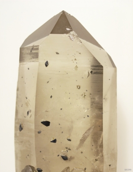
- Remove Mineral resources filter Mineral resources


Valldalen
Valldalen or Valdalen, the name that the locals used in past times, had been a permanent settlement for a long time, and later the biggest mountain-farm valley in western Norway. Since that time there have been many changes: Most of the fields are no longer in use. Bjørkeskogen, a birch forest that had grown in the valley for thousands of years, took more and more over. And in the valley bottom, the Valldals dam now keeps the artificially large Valldalsvatnet Lake in place.

Kinsarvik
Kinsarvik has probably been a centre for the inner Hardanger districts back in prehistory. History tells us that in medieval times there was a marketing place, a “kaupang”, here; a connecting point in the communications between east and west. There were supposedly around 300 residents here but the place was likely wiped out in a great fire.


Ekso
In the late 1800s, Ekso was known among the nobility in England as having among the best salmon rivers. In summer the Lords could haul in big fish of up to 25 kg. In return, the townsfolk were paid for fishing rights, lodging and local assistance.

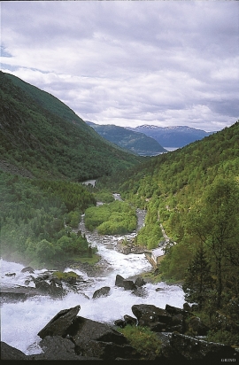
Frøyset river network
Frøyset river network is protected from power station-building - not because of its pristine nature - but because it is a typical river network for this part of western Norway.

